


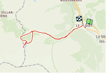


5,2 km | 12,8 km-effort

Benutzer


Kostenlosegpshiking-Anwendung
 SityTrail
IGN / Geografische Institute
SityTrail World
Die Welt öffnet sich für Sie
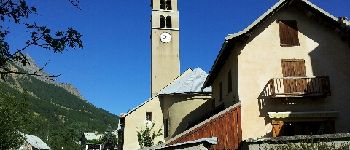
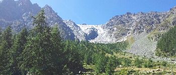
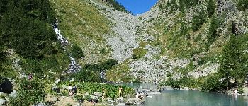
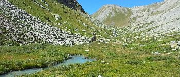
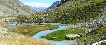
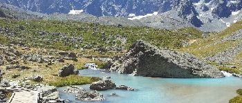
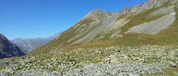
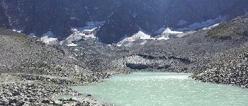
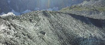
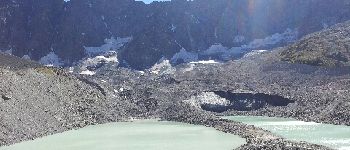
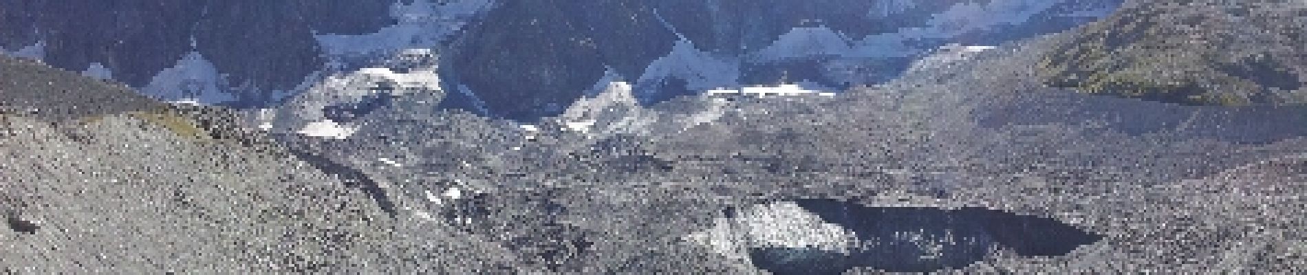
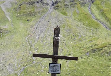
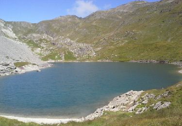
Tour Wandern von 19,9 km verfügbar auf Provence-Alpes-Côte d'Azur, Hochalpen, Le Monêtier-les-Bains. Diese Tour wird von patsure vorgeschlagen.


Wandern

Skiwanderen

Wandern

Wandern

Wandern
Wandern

Klettersteig

Wandern
Wandern